


In northern Arizona, snowpack is the difference between drought and no drought, so finding ways to increase snowpack in the forest matters.
The Salt River Project (SRP), through a partnership with Northern Arizona University, funds research projects that aim to support the identification of solutions that squeeze all the benefits out of winter snow and protect priority watersheds in Arizona. This partnership is in its sixth year and continues to answer critical questions and yield power and water-related solutions across Arizona.
Learn more about the SRP-funded projects:
 Studying the relationship of forest thinning and moisture
 Studying the relationship of forest thinning and moisture
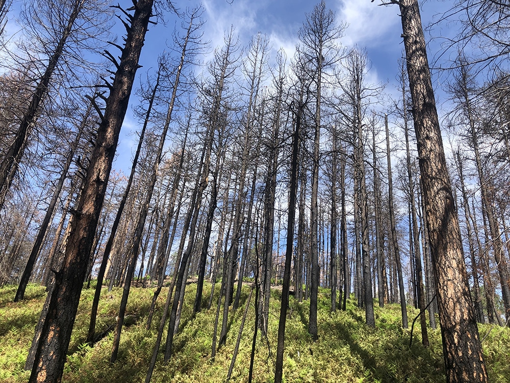
Teki Sankey, an associate professor in the School of Informatics, Computing, and Cyber Systems (SICCS), built on research demonstrating that forest thinning treatments, which are essential for fire response, can lead to significant differences in how much snow sticks around in higher elevation. Using time-series images of recently thinned forests captured by drones, she found that snowpack distribution and accumulation on the ground can be improved via forest thinning, meaning more snow melts more slowly into the spring season, resulting in improved soil moisture.
She also analyzed the soil moisture in the drought periods between April 1 and the start of monsoon season in 2019, 2020 and 2021 with similar findings—tailored thinning can be used to promote soil moisture stability using specific tree density and size parameters.
“Our results indicate that the prolonged regional drought has had important effects on forest soil moisture, but significantly drier conditions are found in denser forest patches compared to the thinned forest,” Sankey said. “During the extreme drought period in 2021, our analysis revealed that thinning improves forest resiliency to drought.”
Protecting the water in C.C. Cragin Reservoir
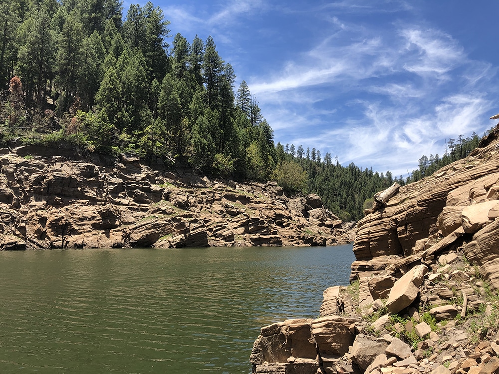
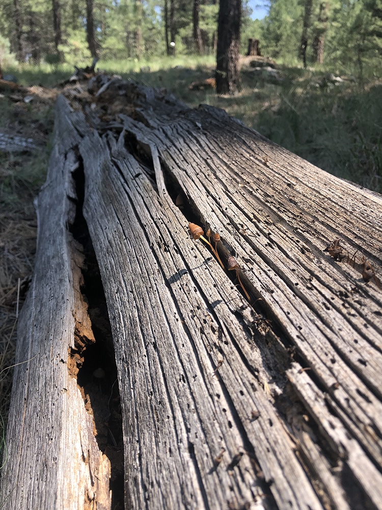
Ecological Restoration Institute (ERI) director Andrew Sánchez Meador and ERI research associate Merideth Reiser explored how new technologies can improve forest restoration in the water of the C.C. Cragin Reservoir, which is on the Mogollon Rim near Payson. They used lidar, a remote sensing method that uses light to measure the Earth’s surface, to examine the role of dead and downed trees in the forest ecosystem. These are a complicated part of the forest—they are important in fire behavior, but too many can be dangerous, harbor invasive insects and require burning in slash piles, which is bad for forest health—and watershed health—but often still the best option.
Sánchez Meador and Reiser wanted to know if there was a better way to handle dead and downed trees. They’re comparing how different lidar detection methods can measure dead wood in the forests around the reservoir.
“These forests on the Mogollon Rim are the testing grounds to explore how remote sensing can be used to improve forest restoration,” Reiser said. “Better forest restoration means more reliable water.”