


Experts estimate that snowmelt accounts for as much as 75 percent of water supplies in the western United States. As the climate warms, however, it’s not hard to imagine a future when declining snowpack on western mountain ranges means less snowmelt. Scientists and water managers have already seen worrying changes in the timing and amount of runoff from season to season.
These shifts pose challenges for farmers, who have to consider the availability and price of water when deciding which crops to grow—or whether to stay in business at all. If farmers grow fewer crops as a result of changes in snowpack, what will happen to the region’s food supply? Can farmers and water managers make smart changes now to the way they use and allocate water to help ensure a reliable food supply for decades to come?
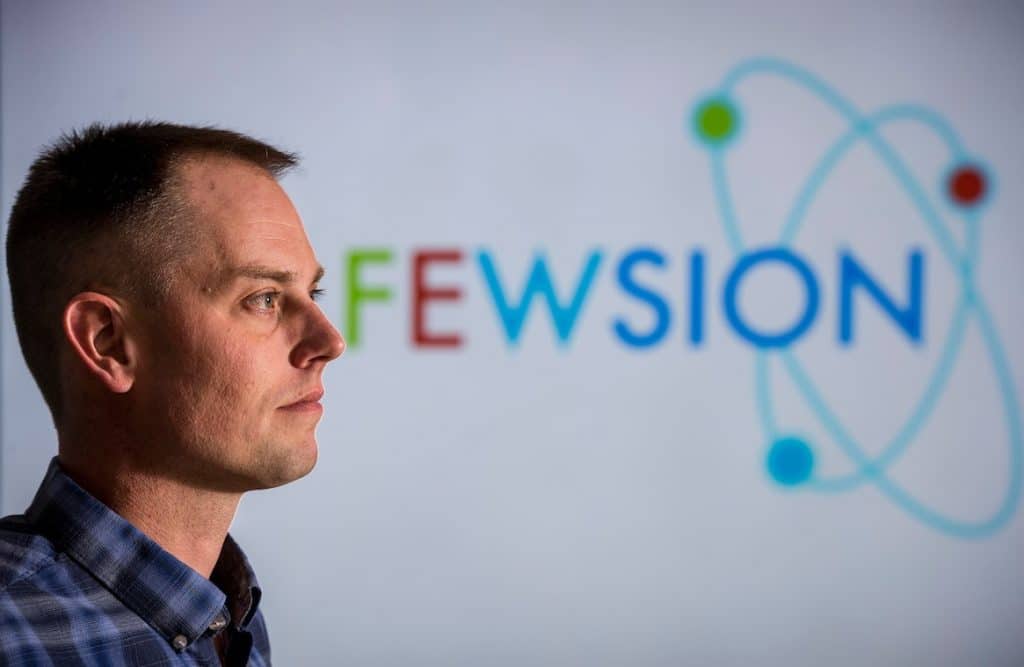
Associate professor Ben Ruddell of Northern Arizona University’s School of Informatics, Computing, and Cyber Systems (SICCS) is collaborating on a major new five-year study with a team of 11 scientists at five institutions to find solutions to these complex issues. Funded by a $4.9 million grant from the U.S. Department of Agriculture’s National Institute of Food and Agriculture and led by professor Kimberly Rollins of the University of Nevada, Reno, the team will integrate physical and economic models with stakeholder participation to evaluate outcomes of shifts in snowmelt-derived water supplies.
Map shows how food production, energy production and water supply align, interact
For their part, Ruddell and his team will leverage the datasets and methods they produced for an earlier project called FEWSION to map the water footprint of western agriculture and demonstrate the indirect effects caused by changes in snowmelt. NAU will receive $320,500 of the total grant funding for this work.
Using a big data approach, Ruddell’s team created a mesoscale map of the U.S. food, energy and water (FEW) system in 2017. The first of its kind, it includes regional trade systems, river basins and aquifers, irrigation districts, crop belts, states, tribes, counties and cities, power grids, climate gradients and seasonal timescales.
“Basically, the map shows us how food production, energy production and the water supply align and connect through the economy,” Ruddell said. “With this reliable, empirical description of the system to aid our understanding, we can study questions like how a changing snowpack could affect our food stability—and get results that will inform future policies and spur new solutions.”
For this new project, Ruddell will integrate outputs from FEWSION with economic and climate models to better understand the decision-making processes that affect water allocation and food supply. The models will be tested with a team of stakeholders, including farmers and water managers, in case study snow basins in Nevada, Colorado and Arizona.
“Collaboration between scientists and stakeholders is crucial in this project,” Ruddell said.
Helping the region adapt to a changing snowpack
Western waters are managed through a complex system of water rights that evolved with the expectation of unchanged mountain snowmelt. As the climate changes, however, historical patterns are no longer reliable predictors of future water supply.
The amount and timing of runoff, in particular, present problems for farmers. Flows that peak too early increase their economic risks, which makes them more likely to sell their lands. As farmlands are developed or repurposed for other uses, the region will permanently lose food production capacity.
[block-quote align=”center”]Collaboration between scientists and stakeholders is crucial in this project.[/block-quote]To prevent that, the scientists on this project will produce tools to improve decision-making at the individual and local levels. They will learn how to anticipate mountain snowpack changes, evaluate the ability of water managers to respond to these changes, assess impacts on agriculture and develop a collaborative framework for responding to the challenges.
“Our goal is to build truly useful tools for policy decision-making concerning water allocation and agriculture that will lead to sustained long-term capacity for food production in the West,” Ruddell said. “It may be necessary to change how we grow food, including growing more food in more northerly parts of the West that have not been historical centers of irrigated agriculture.”
Ruddell, who joined SICCS in 2016, has experience in civil engineering, ecohydrology, water resources and microclimatology. His interest in complex natural-human systems led to development of the FEWSION map, which has already helped scientists explore a wide range of issues.

Kerry Bennett and Julie Hammonds | Office of the Vice President for Research
(928) 523-5556 | kerry.bennett@nau.edu