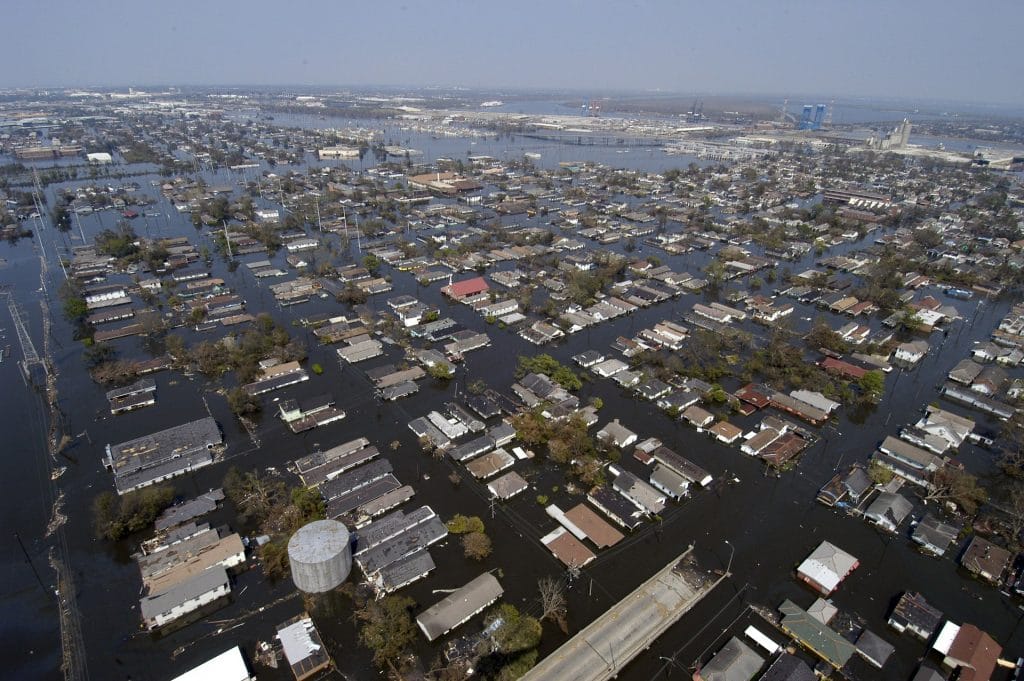


According to the Federal Emergency Management Agency (FEMA), flooding is the most damaging natural hazard in the world, and most flood damage occurs in cities. As exemplified by Hurricane Harvey in 2017, this damage is projected to rapidly increase, both due to increasing extreme precipitation events and urban sprawl into marshes and floodplains—so it is critical that cities learn to adapt and respond more quickly to floods to save lives and prevent damage to infrastructure.
“The future of our nation’s stormwater infrastructure is threatened by a simple irony,” said NAU civil engineer Ben Ruddell, associate professor of the School of Informatics, Computing, and Cyber Systems. “A city’s engineers, first responders, weather professionals and citizens are not connected to enough flood information where we need it the most: in our own backyards.”
A new project funded by a $1.5 million grant from the National Science Foundation is designed to address this problem. Along with collaborators at Arizona State University, the University of Arizona, University at Buffalo and Michigan Technological University, Ruddell will partner with local, federal and academic stakeholders to pilot a new flood information system for cities that connects first responders, citizens and infrastructure professionals with exactly the flood information they need, in near-real time, for the locations where they need this data most.
“We call this system the Integrated Flood Stage Observation Network (IFSON),” Ruddell said. “We will demonstrate that the raw data can be sourced from inexpensive or free data streams driven by the community, such as social media, traffic cameras and webcams; determine how to make use of this new data to produce the hydrologic statistics needed to design better; engineer the information products; provide data to flood forecasters and engineers; and engage city officials and citizens. The system is engineered so it can eventually be scaled up to every city in the U.S.”
This project will empower and engage local citizens in flood event reporting and response, exploring what it would mean to have a “smart and connected community” for minimizing flood risk. Although driven by a number of novel technologies and techniques, this work will focus on the intersection of community with technology and how modern network technologies can engage and bring together ordinary citizens, city planners, first responders and other local stakeholders within a shared, collaboratively constructed information space.
Although most of the project work will take place in Arizona, where the research team’s assets and relationships are concentrated, the team also plans to engage the National Weather Service and the U.S. Geological Survey and to use the national cyberinfrastructures of two premier academic hydrology data systems, the Consortium of Universities for the Advancement of Hydrologic Science, Inc. (CUAHSI) and eRams to pilot the dissemination of raw data and refined information products.

Kerry Bennett | Office of the Vice President for Research
(928) 523-5556 | kerry.bennett@nau.edu