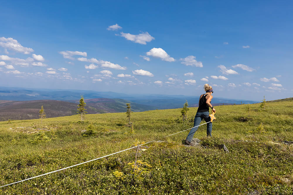
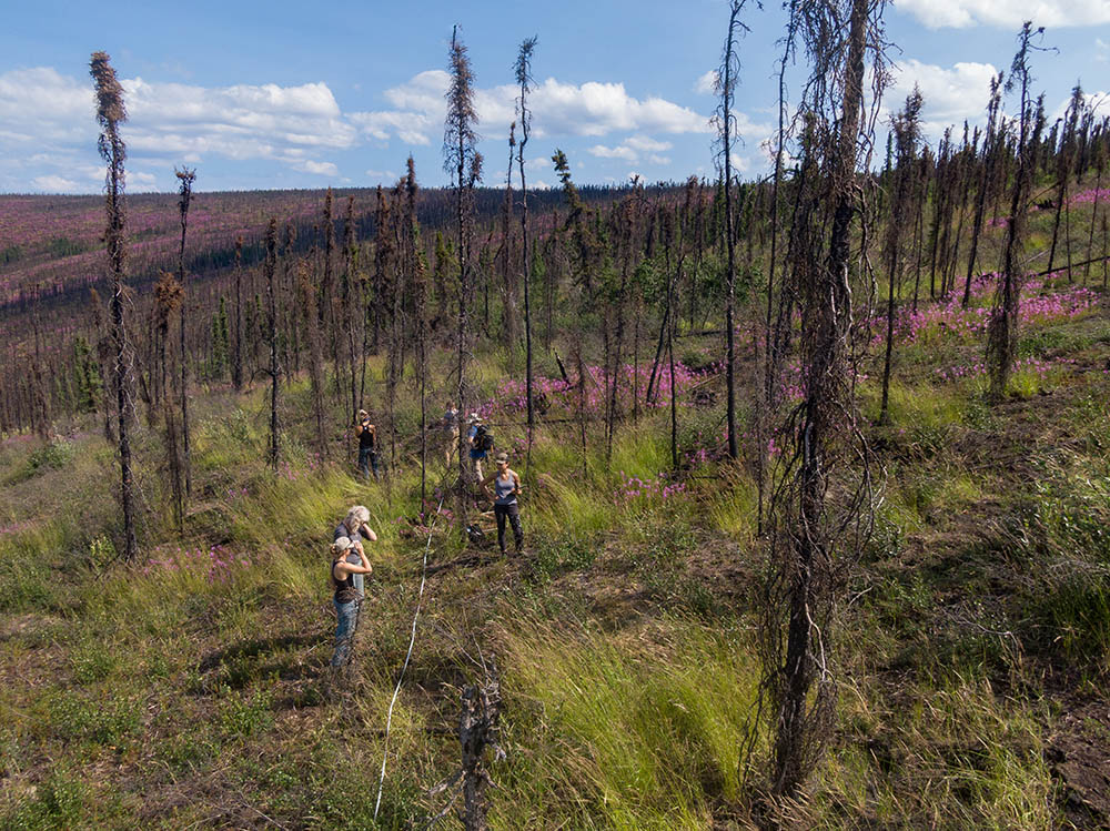
In many regions, climate change is causing forests to burn more frequently than they have for hundreds or thousands of years. But some forests reburn on a faster timeline while others don’t. Learning about when and where certain forests burn again within a few decades could hold important clues for both local communities and scientists preparing for a fierier global future. A team of researchers led by the Center for Ecosystem Science and Society (Ecoss) at Northern Arizona University has received a $900,000 grant from NASA to learn about these reburns in the boreal forest by matching satellite and LIDAR aerial images with measurements taken on the ground.
“We’re seeing more and more reburning, and we want to understand what that means for the recovery of these forests and the vast amounts of carbon stored there,” said Xanthe Walker, assistant professor of biology at Ecoss and principal investigator on the project. “What climate conditions and tree species prime forests to reburn? And does burning again within a few decades change the species that come back after fire? While we can answer these questions about a given forest on foot, we really need to zoom out to be able to see patterns across large regions. This award will help us do that.”
The project, dubbed “Drivers and Impacts of Reburning in boreal forest Ecosystems,” or DIRE, will build maps about forest vulnerability to reburning by matching satellite images with field observations. The maps will capture information like forest stand age and species composition, burned area, fire weather, fire severity, biomass (how big and productive trees are) and stress factors for trees (such as drought) in boreal forests that stretch across the Northwest Territories and Yukon Territories in Canada, and Interior Alaska.

“This project lets us apply the big-picture gaze of our remote sensing technology to on-the-ground questions that are pressing for communities and fire managers alike,” Berner said. “Which forests are most vulnerable to reburning? Being able to predict that accurately across these regions could really help managers better plan and prepare.”
“Predicting when boreal forests toggle from being a carbon sink to carbon source—and knowing what factors influence that switch—is going to be really important in the coming decades,” Mack said. “We hope that the maps we create will have both local and global utility.”
The project builds on some of the data gathered during earlier awards from NASA’s Arctic Boreal Vulnerability Experiment. Read more about those experiments and findings on boreal forests and rapid greening.
Kate Petersen | Center for Ecosystem Science and Society


