


By Kerry Bennett
Office of the Vice President for Research
Snowmelt is a vital source of soil moisture in northern Arizona, but in overly dense forests where tree canopies merge, up to 60 percent of the snow never reaches the ground.
A new grant from The Nature Conservancy is funding a two-year interdisciplinary project in which a team of NAU scientists will study the effects of mechanical thinning on forest patches and the resulting amount of snowmelt that reaches the soil.
This research will determine the ideal mechanical thinning pattern to help land managers plan for, and monitor, the Four Forest Restoration Initiative (4FRI), a collaborative effort to restore forest ecosystems of four national forests—Coconino, Kaibab, Apache-Sitgreaves and Tonto—along the Mogollon Rim in northern Arizona.
Temuulen “Teki” Sankey, assistant professor in NAU’s School of Informatics, Computing, and Cyber Systems (SICCS), is leading the project, in collaboration with professor Abe Springer of NAU’s School of Earth Sciences and Environmental Sustainability. The project, titled “High Resolution Measurements of Forest Restoration and Ecohydrological Changes,” is being carried out by Sankey’s doctoral student Adam Belmonte as part of earning his doctorate in Informatics and Computing. The project also involves the U.S. Forest Service, which manages the ponderosa pine forest outside of Flagstaff where the study is taking place.
“We want to determine the ideal tree density and forest patch size for the optimal amount of snow to reach the ground,” Sankey said. “We hypothesize that the size and orientation of a forest patch correlates directly to how fast the snow melts, evaporates, and how much of the melted snow actually adds moisture to the soil.”
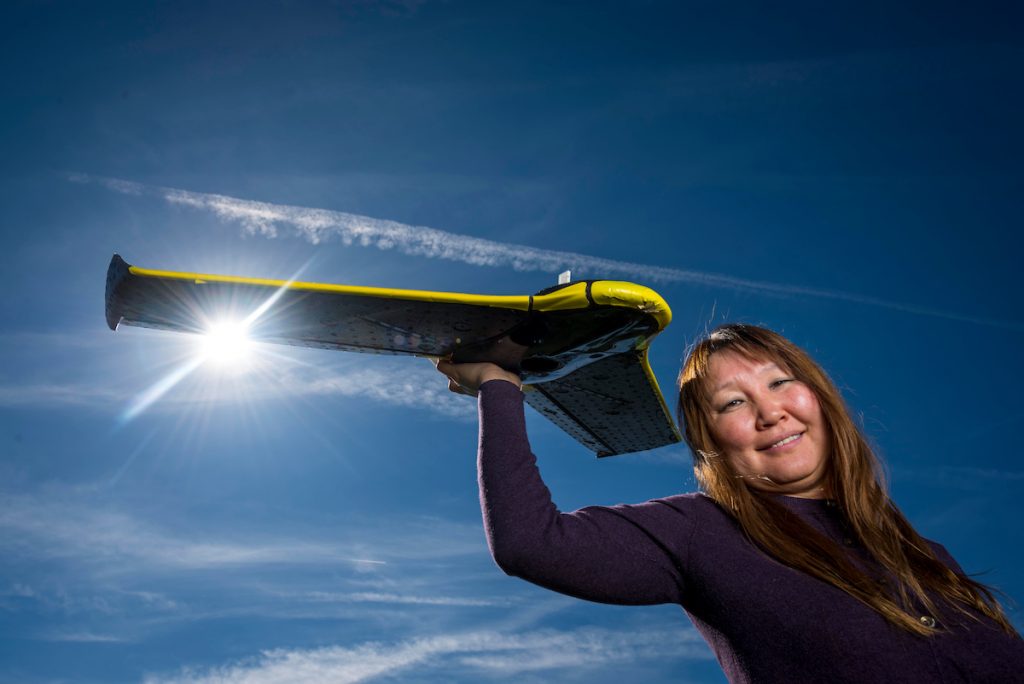
Scientists using an array of remote sensing technologies
Researchers will use a range of state-of-the-art monitoring technologies to gather data for the study. By using a new hyperspectral sensor—which is valuable for detailed investigation related to soils, minerals, plants and water—the scientists will test the sensor’s ability to detect small changes in soil moisture. They will employ a LIDAR (light detection and ranging) scanner, which images the land surface and vegetation in three dimensions. The research team also will use moisture sensors—developed in SICCS professor Paul Flikkema’s lab—to continuously monitor soil moisture in forest patches of varying sizes and densities.
Using a fixed-wing drone, Sankey and her team will gather data transmitted by the sensors to create a detailed map of the forest before the thinning is done as well as after the thinning takes place. The maps, along with the soil moisture data, will help the team determine the most beneficial methods for thinning the forest.
“I am very excited to be a part of this project and a part of the larger forest restoration and management goals that are being cultivated by 4FRI,” Belmonte said. “Using a suite of technological tools to support natural resource management helps our team develop more efficient solutions for the complex problems facing our ecosystems. The network of experts involved with this project will provide me great professional development opportunities for a future in science-based problem-solving.”
At NAU, Sankey’s research focuses on geospatial data analysis and applications in coupled human-environment systems.
“I use satellite-borne multispectral data, airborne hyperspectral and three-dimensional point cloud data in geospatial and environmental applications,” Sankey said. “The ecosystems I have studied include grassland-forest ecotones, aspen communities and pinyon-juniper woodlands of the intermountain U.S., sagebrush steppe in the northern Great Basin and Columbia Plateau of the U.S., and grassland steppe and Siberian larch forests of northern Mongolia.”
Sankey was co-author of a paper recently published in Geophysical Research Letters that examines how an increase in wildfires will affect the amount of soil erosion within watersheds in the western U.S. The scientists warn the resulting increase in sedimentation could negatively impact water supply and quality for some communities, in addition to affecting stream channel stability and aquatic ecosystems. The study was covered by several news outlets, including Southern California Public Radio station KPCC and by NewsDeeply.com.