


For those with a smartphone, or GPS in the dash of their car, geospatial technology is as close as their fingertips and as easy as a spoken command.
Now the impressive power behind that technology—and the critical-thinking skills it can develop and unleash—is available free to schools and youth organizations throughout Arizona.
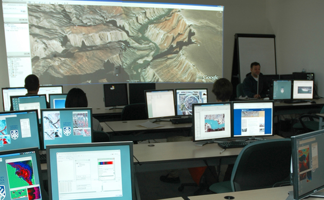
ESRI ArcMap, a desktop geographic information system software with online organizational access, may now be obtained through a statewide site license negotiated with ESRI and co-sponsored by Northern Arizona University, the Arizona Geographic Alliance and the Arizona Geographic Information Council.
|
“ArcMap is the industry standard for solving problems in a spatial way,” said Lori Rubino-Hare, professional development coordinator at NAU’s Center for Science Teaching and Learning.
Some of that problem solving provides us with GPS maps, which result from layers of data points in a spreadsheet that are sorted by queries.
While industry uses the complex tool to map and manage large amounts of data to assist in making decisions, Rubino-Hare said, there are plenty of educational applications in K-12 schools.
“Students should be using that kind of power to solve problems while developing their spatial and creative thinking skills,” she said, speaking from firsthand knowledge. After using the program for years as a middle school teacher, she now advises science teachers, through grants from Science Foundation Arizona and the National Science Foundation, how to integrate data and field investigations into their classrooms through ArcMap.
Assistant professor Mark Manone directs NAU’s Geospatial Research and Information Laboratory, which hosts the software site license. Through a website, it may be acquired for free by public, charter, private and home schools, in addition to nonprofit youth organizations.
“Using the software will help increase students’ ability to acquire geospatial skills and enhance critical spatial thinking, which is a key tenet to all aspects of STEM learning,” Manone said.
Although the software itself and its emerging scientific field sound complicated, Manone said, students and their parents have good reason to want access through school.
“Geographic information systems and geospatial technologies are hot fields for job opportunities,” Manone said. “This gives students the opportunity to get in with this new technology prior to getting to the university level.”
And it’s not just hard-science jobs that are out there, Manone said. The technology is being used in “anything that deals with location-based information,” from city planners to business marketing. “It’s an emerging field that’s going to provide for career paths in diverse areas,” he said.
Teachers need not hesitate either, Manone said, because a variety of advances make the technology “ready to be used by K-12 institutions.”
“It gives teachers the opportunity to dive into a world that they might not normally have access to,” he said. “You don’t need months of training. The current version is intuitive and inviting for students and teachers to use together.”